
What we do
Capabilities
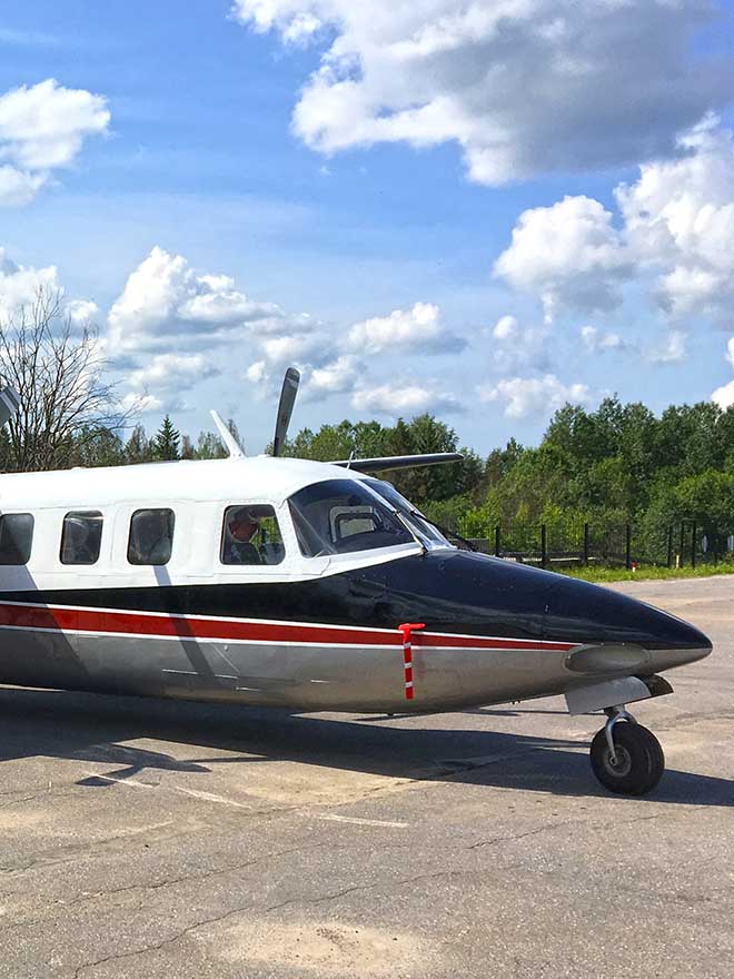
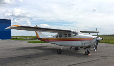
Aviation
Our owned survey aircraft
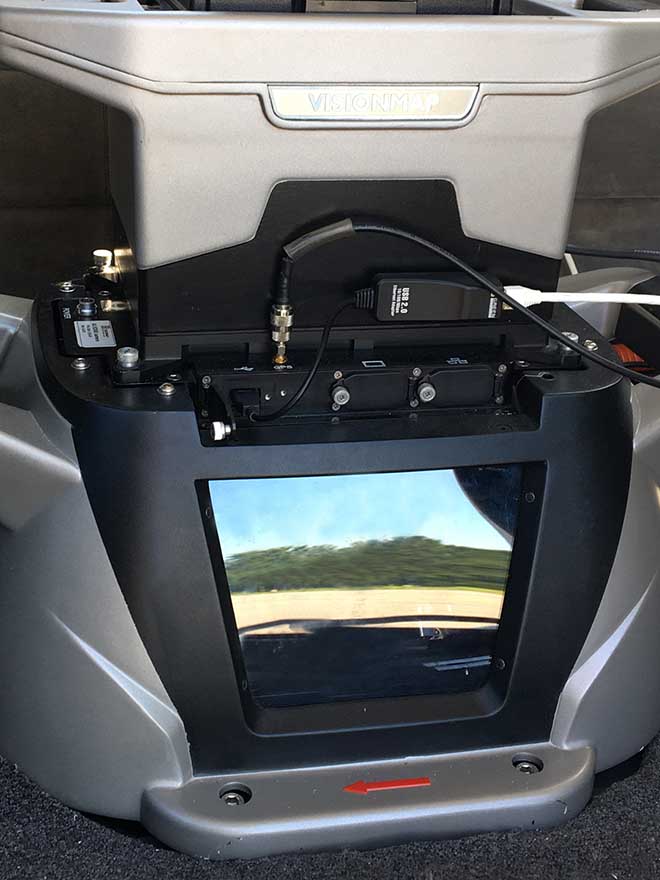
Aerial camera systems
Our aerial camera systems
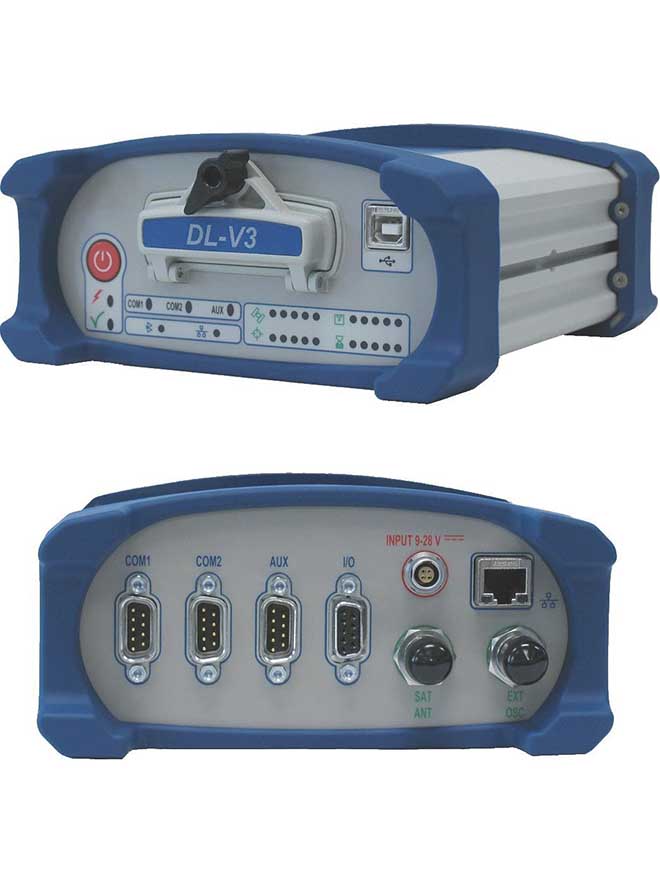
Land surveying equipment
Our owned equipment to carry out land survey
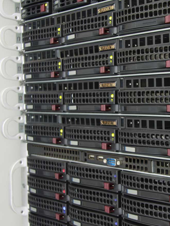
Software
Licensed software we use
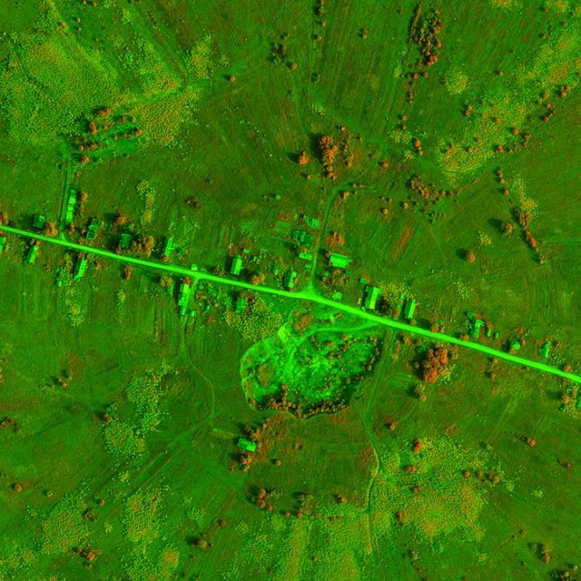
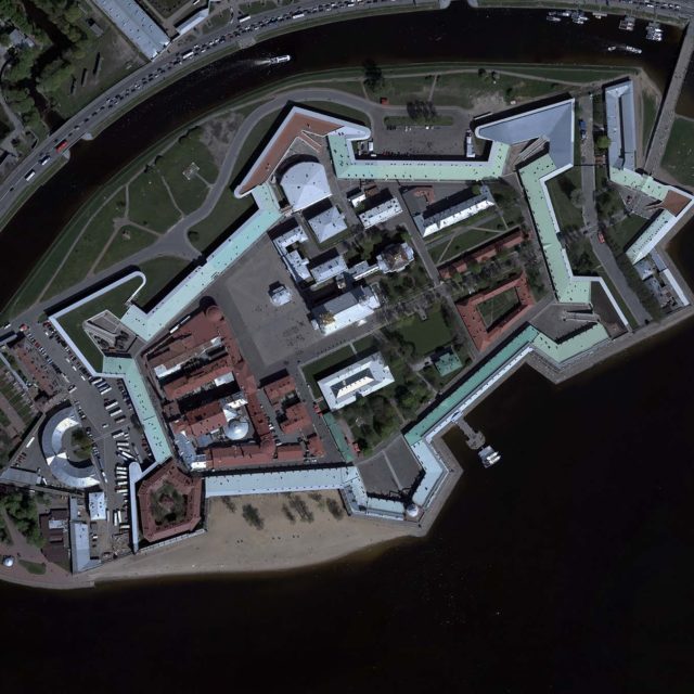
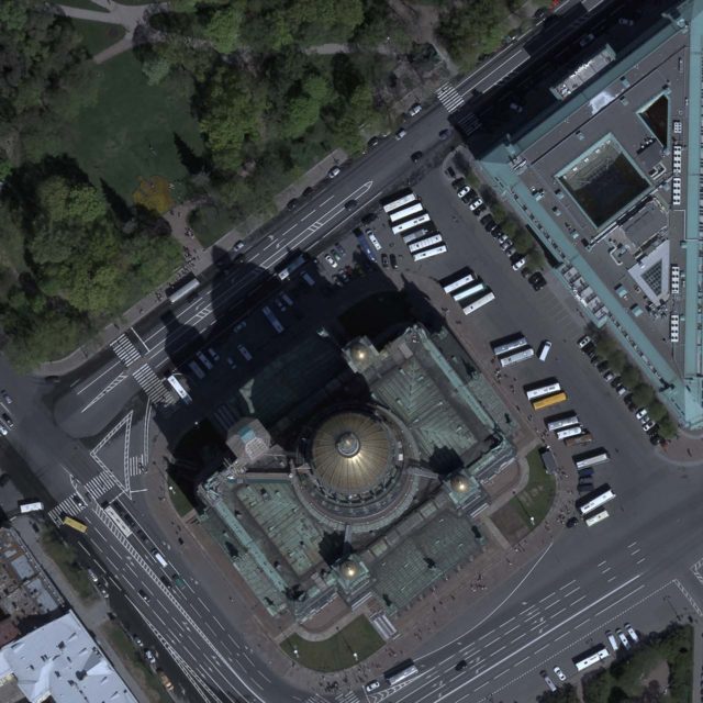
Our projects
Some examples of our work
How we work
4 milestones of the working process
Our work in figures
Enormous work has been carried out since our company was founded
3400
Flight hours
9732
Sheets of ortophoto
211
Projects
72343
Cups of coffee
Blog
Our recent blog posts
December 2016
6 – 9 December 2016 in Vologda took place the Annual International Forum “Russian...
Подробнее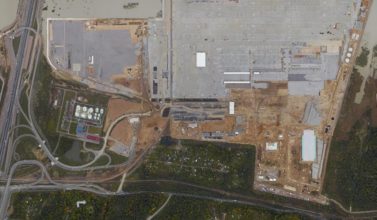
November 2016
In 2016 we finished many years monitoring of the Bronka transshipping sea terminal...
Подробнее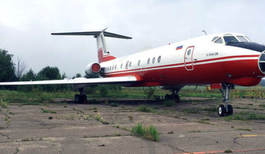
October 2016
To total up the survey season 2016, we’ve covered (in part or completely) forestry...
ПодробнееOur partners
We have partners all over the world


OFFICE HOURS
Monday-Friday
9:00-18:00
Sunday, Saturday
Day off
CONTACT INFORMATION
Address
Russian Federation, Saint-Petersburg, V.I. 18th Liniya, 53, ZIP 199178
Phone/Fax