BALTAEROSERVIS has owned equipment to carry out land survey for aerial survey processing. Among them there are dual-frequency dual-standard multichannel GPS GLONASS receivers and a digital tacheometer.
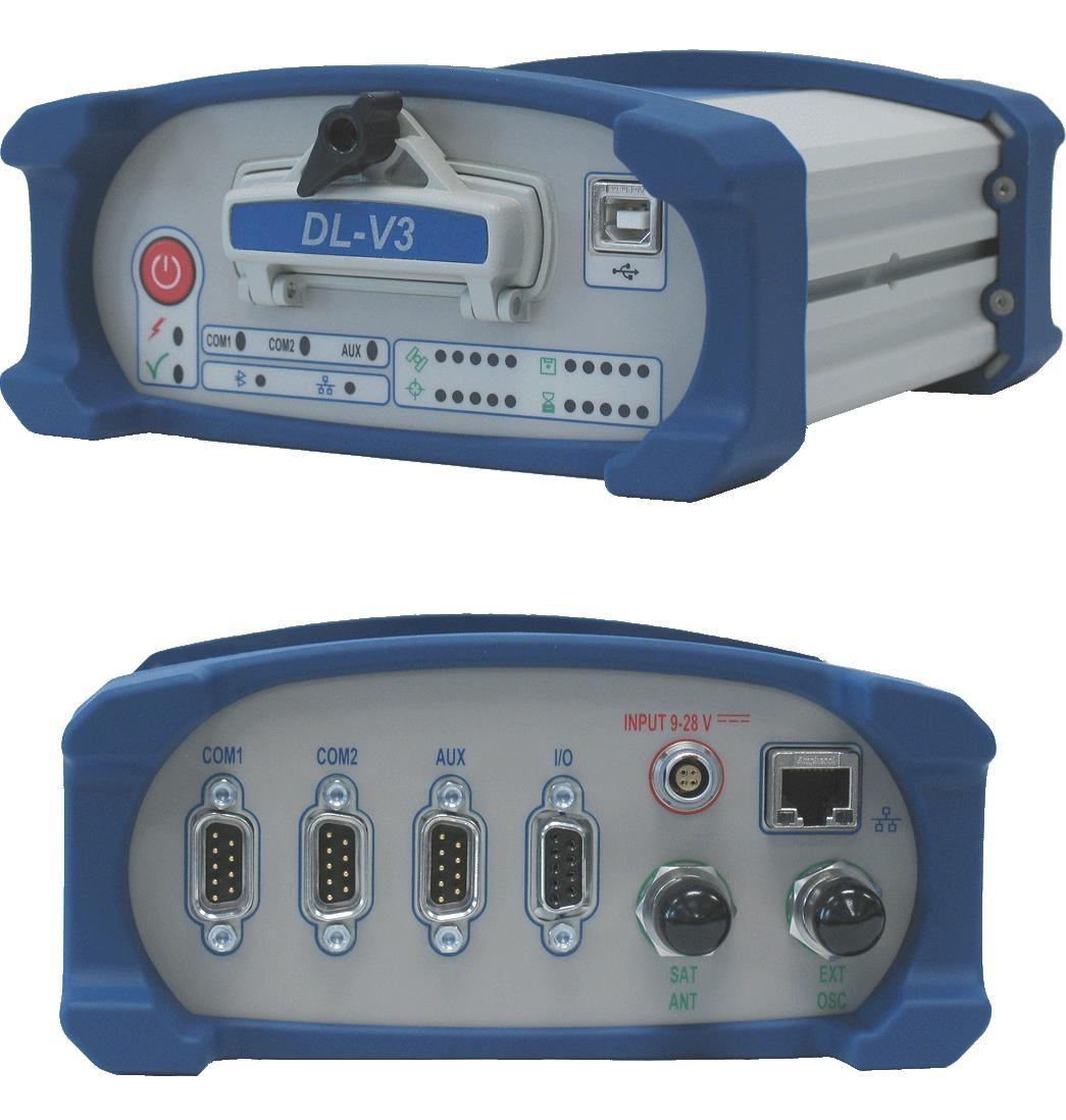
NovAtel DL-V3 is a multipurpose precision GNSS receiver can receive and process GPS signal L1 C/A, L2C, L2 P(Y) and L5, GLONASS subband L1 and L2, 72 channel OmniSTAR L band system. The receiver can be used as ground control station and rovers for land survey (including RTK mode) for high precious positioning, aerial survey supporting, GIS and other purposes.
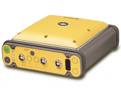
Geodetic GPS GLONASS receiver HiPer+ is a high precision dual-frequency integrated GPS GLONASS system for survey in static and kinematic mode as well as RTK and DGPS postprocessing. Hiper+ receiver can be used to meet a wide range of demands, such as geodetic network creating and thickening, horizontal and vertical control, cartographic and cadaster survey, geodetic monitoring for engineering and building purposes etc.
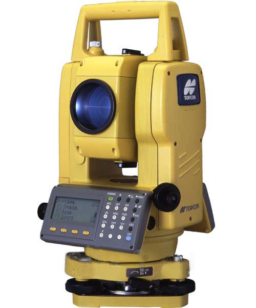
Digital tacheometer Topcon 3007.
Measured distance, m: – without a lens up to 250 m – with 1 lens up to 3000 m
Distance accuracy: ± (3 mm + 2 ppm)
Angles measurement accuracy, “7
Internal storage 8000 points
Power-on time (1 battary) 4.2 h (distance and angles measurements); 45 h (only angles measurements)
All geodetic equipment has pass the procedure of verification and certification.