In addition to ortophotos and topographic maps our company produces at Customer’s option a set of vertical and oblique imagery. Every image contains exterior orientation in metadata.
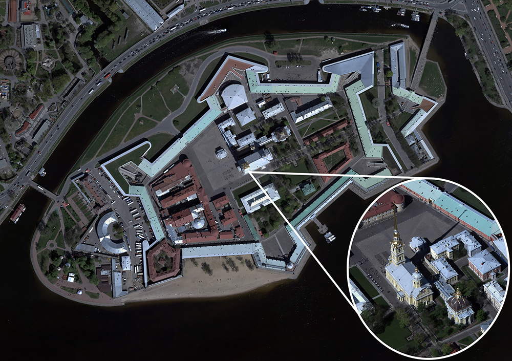
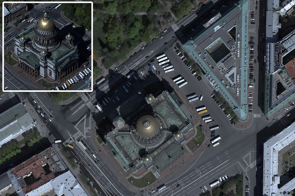
Picture 1. Sample oblique images.
A3 Edge airborne imaging system provides imagery with oblique angle up to 52°. It substantially helps cartographers in aerial photointerpreting while making urban topographic layouts. Oblique imagery also makes possible to create 3D terrain models. At the present day metrics modelling is one of the top requested product in the field of mapping. Many companies offer software visually representing 3D terrain models and enabling measurements with a reasonable degree of accuracy in all dimensions at the same time. In cooperation with IdanComputers (Israel) we created an experimental metrics model of one of Saint-Petersburgh districts. The software and interface features and ease of operation can be observed at the company site.
Moreover, Acute 3D (France) released software which produces realistic 3D terrain model using imagery made by A3 camera. The result is a metrics model i.e. it makes possible to measure it in all dimensions. One can find out more about this software at the designer company site. VisionMap put online a sample 3D model of Jerusalem which was created as a result of the city aerial survey using A3 system and Acude 3D software.
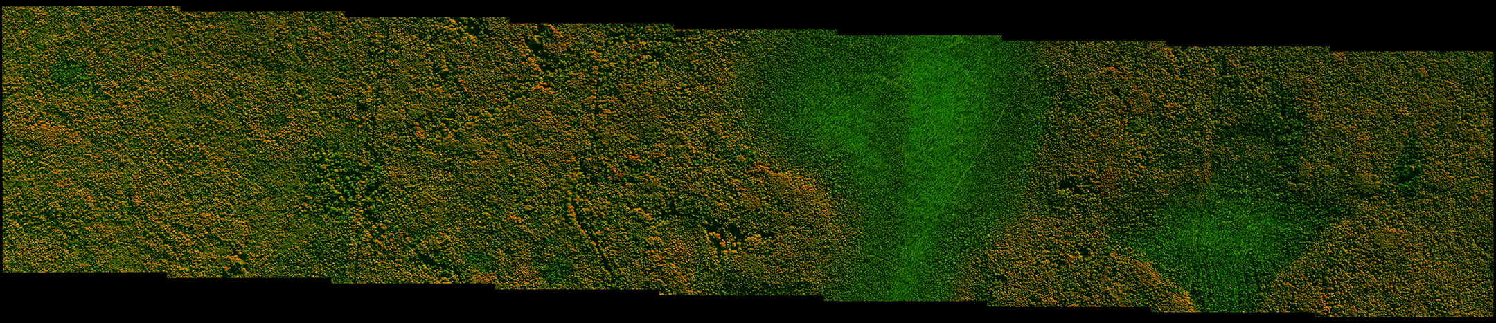
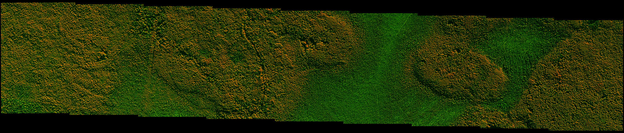
A3 system makes possible to create super large format images in addition to oblique imagery, to create SLF stereo pair and stereo-vectorising objects in Photomod. This option, for example, often used by Roslesinforg specialists when they create specialized maps for forestry management.