Our company survey objects of different square and configuration to provide a wide range of solutions to small localities, industrial facilities or constituent territories of the Russian Federation, as well as long distance routes. Aerial images can vary in resolution from ultrahigh (the very few cm) up to 1 meter, dependent on Customer’s needs and demands.
We provide digital aerial survey using modern sensor systems with high productivity, geometrical accuracy, high spatial resolution and photometric picture quality. The aerial imagery data is a set of colour or multispectral photographs with a high decrypting qualities. The on-board attitude determination system helps to identify the elements of aerial mapping exterior orientation in flight and minimize the costs of ground control survey and the work completion time.

The aerial imagery output is digital colour images, panchromatic (black-and-white) images, multispectral images. The demands of the highly precise stereo imagery processing can be answered with the images most satisfying the requirements. The equipment makes possible high-altitude aerial survey with high resolution, which could be important for survey in big cities. The survey data can be provided with files containing the elements of aerial mapping exterior orientation and allow to use it without ground control fieldwork.
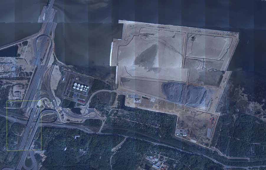
BALTAEROSERVIS executed digital aerial survey of wide areas of the Russian Federation, such as Saint-Petersburgh, the Ivanovo Region, the Republic of Karelia, the Pskov Region etc. and produced digital orthophoto with GSD 10cm.
Digital aerial survey successfully performs the following:
- Generating and updating topographic and special maps and layouts;
- Generating the cadastre base material;
- Environmental monitoring and management in agriculture and forestry;
- Monitoring of various objects.
To perform aerial survey our company, fly our own special mission aircrafts Cessna 210, AirCommander 680V and specialized sets of hardware and software. We use different cameras for different purposes:
- PhaseOne full-frame camera in focal lengths 45 mm and 80 mm at 80 Mpix;
- Since 2013 BALTAEROSERVIS has been with an aerotopographic system А3 EDGE (VisionMap, Israel) which has performed high efficiency and execution speed of mapping.