Digital map is a framework for paper maps and emaps, it is also an integral part of cartographic databases and an essential component of GIS dataware.
Digital topographic maps and layouts are used for the following:
- construction general layout and project overlay;
- industrial enterprise engineering design;
- reconnaissance and further field development;
- oil-and-gas producing field surveying layout, field infrastructure development, other mining purposes;
- land management and land cadaster;
- infrastructure design, building and registration;
- landscaping design;
- others.
BALTAEROSERVIS fulfills the whole scope of cartographic works including creation digital maps and layouts suitable for GIS.
Our specialists create maps, update them and copy them on paper or data storage devices.
Topographic maps at a scale of 1 in 10000;
Topographic layout at a scale of 1 in 5000 up to 1 in 500;
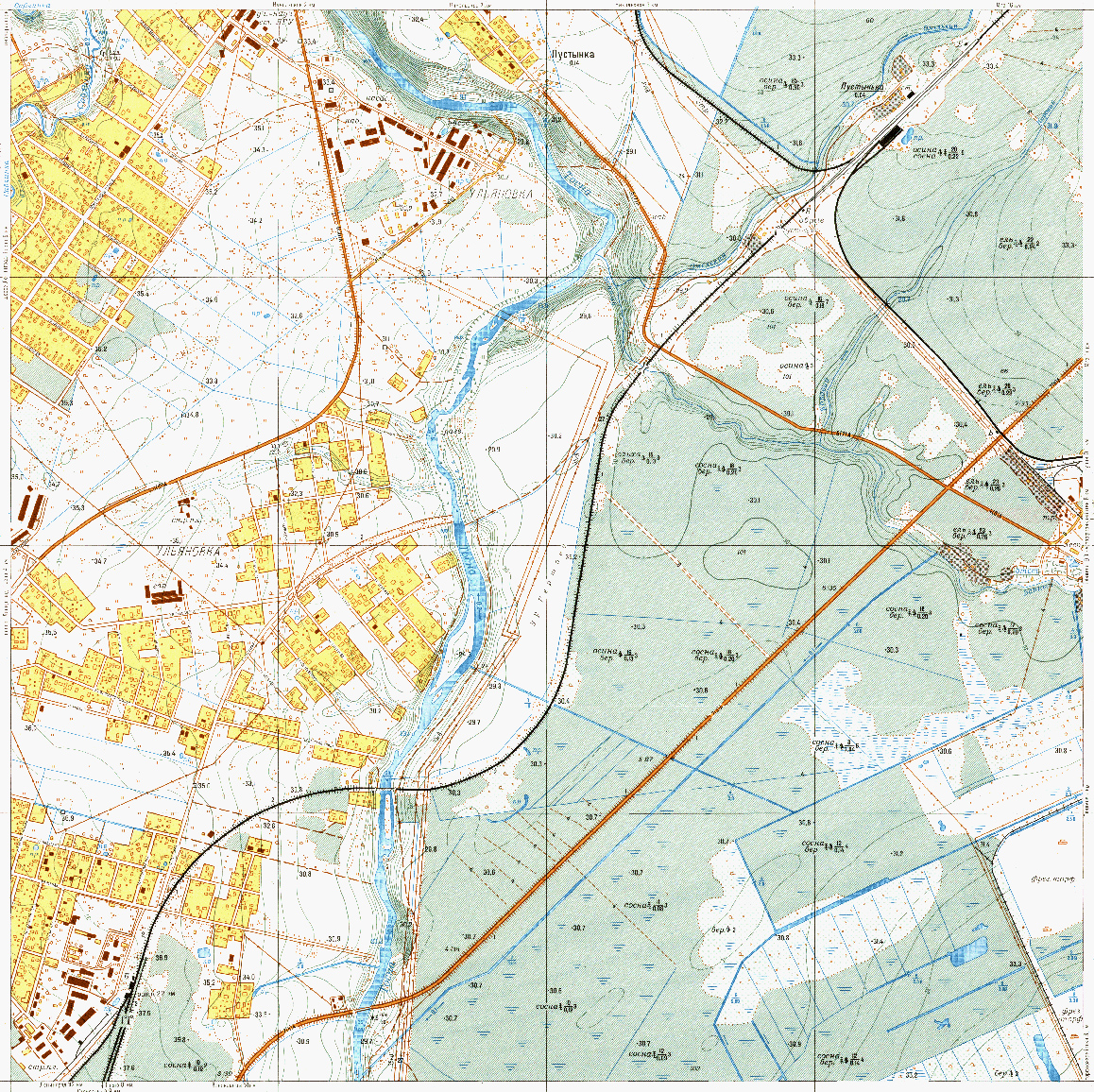
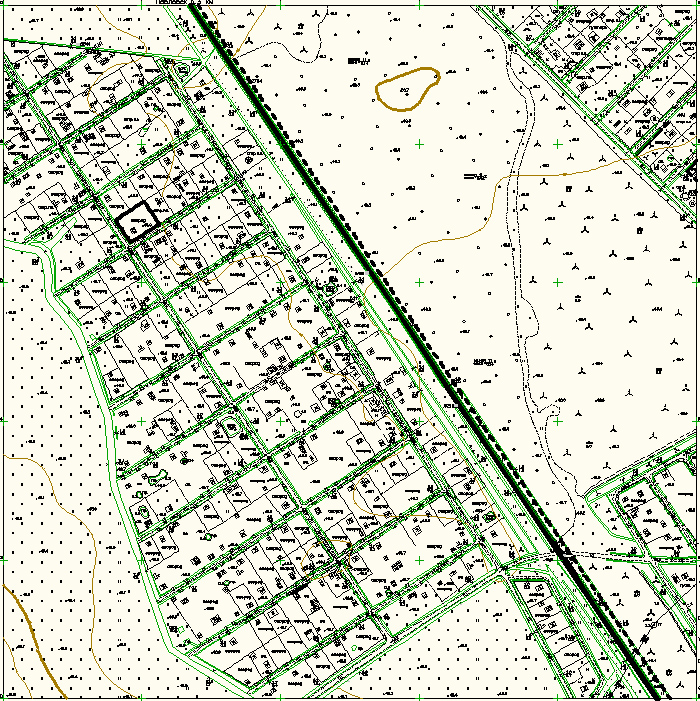
Pic.1. Selection of digital map 1:10000 (at the left), digital layout 1:2000 (at the right).